



The BookShark Homeschool Blog

3 Easy Ways to Build Independence in Middle Schoolers
Between the stress of puberty and the increasing difficulty of academic material, middle school homeschoolers can feel more than their share of pressure. During these grades, parents can do a lot to help their kids build an independent love for learning. And, while this may involve lots of time now in terms of training, it can be a

Dictation: A Natural Way to Teach Language Arts
What if your kids could learn to write from real-life, published authors? Sounds pretty amazing…and maybe even a little expensive, right? The good news is they can do just that when they learn language arts naturally using copywork and dictation to develop their writing skills. BookShark Language Arts uses this approach. Tools for Teaching Language Arts Skills

Why the Homeschool Day Is So Much Shorter Than a Typical School Day
How long is a typical homeschool day and how does it compare with the hours of a day in public school? Many parents, new to homeschooling, wrongly assume that they should homeschool for the same length of time as their public school counterparts. In general, a homeschool day is much shorter than that of a traditional

4 Ways a Boxed Homeschool Curriculum Is Great for Boys
Don’t give up the ease of laid out lesson plans which a boxed homeschool curriculum provides because you have active boys. Here are four ways that a boxed curriculum turns out to be a very boy-friendly option. 1. Hands-On Activities There is no one size fits all solution for boys. However, one thing most young boys have

BookShark’s Guide to Secular Homeschooling
After deciding to homeschool, the next step is figuring out what type of homeschooler you want to be—an important part of choosing the right curriculum and teaching style. This secular homeschooling guide is here to help families who prefer to keep religious instruction separate from academics or avoid it altogether. Whether you’re looking for a

Homeschooling With Michigan BookShark Virtual
Homeschooling in Michigan? Or wanting to homeschool in Michigan? Find out how you can get a FREE literature-based curriculum with support and online assessments! Join Janna Koch, BookShark’s Community Manager, as she is joined by Jen Myers and Gwyn Domke, from Michigan BookShark Virtual with Alpena schools in Michigan. Find out the benefits of using

How to Create a Traveling Unit Study
In search of an olive tree, we traveled through the Acropolis and made our way to the Erechtheion. “It’s in the same place Athena planted an olive tree when she and Poseidon were competing for Athens,” my son said excitedly. He’d learned the story—and many others he shared throughout our travels—thanks to Rick Riordan’s Greek

Homeschooling Your Highly Sensitive Child
I have a sensitive child. There are no tags on any of their clothes. When she needs new clothes, we spend hours in dressing rooms trying to find ones that are comfortable. Deeply intuitive, in need of quiet downtime, challenged by change, a perfectionist, she is not alone. There are, in fact, two people in

Copywork: A Natural Way to Teach Language Arts
Do you remember what it was like when your sweet little babies began to utter their first sounds? Did you run to get a textbook so you could teach them how to speak? Of course not! You certainly didn’t freak out thinking there was no way you would be able to teach them how to
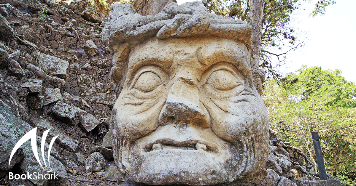
8 YouTube Videos for Exploring Central America
This year in our homeschool we will be studying Central America. We have a great collection of books to read about the topic. But I also wanted to find age appropriate videos that show us more about the different countries we’ll be visiting. As much as we adore a literature-based homeschool curriculum, we still love adding on the